Illustrated Street Map Scenev1.0.0
Use this Skill to make article illustrations.
Illustrated town maps for guides and features: a Fable 5 image skill that paints checked streets and landmarks with blank cartouches, and never lets decoration pose as navigation.
Picked most often by
Updated Oct 30, 2026
Preview gallery
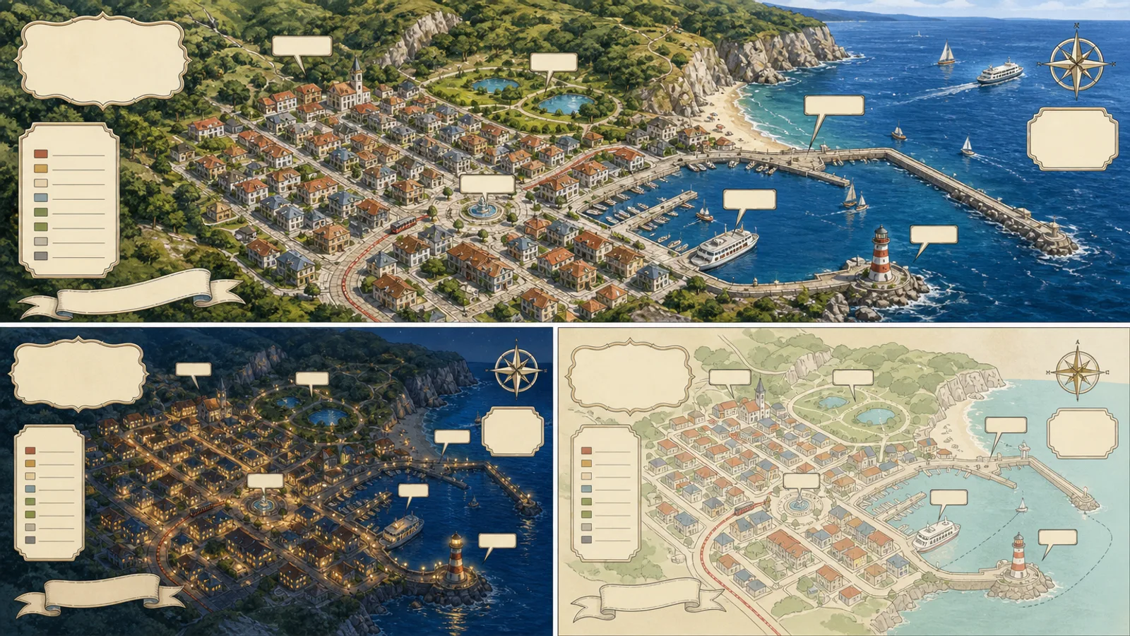
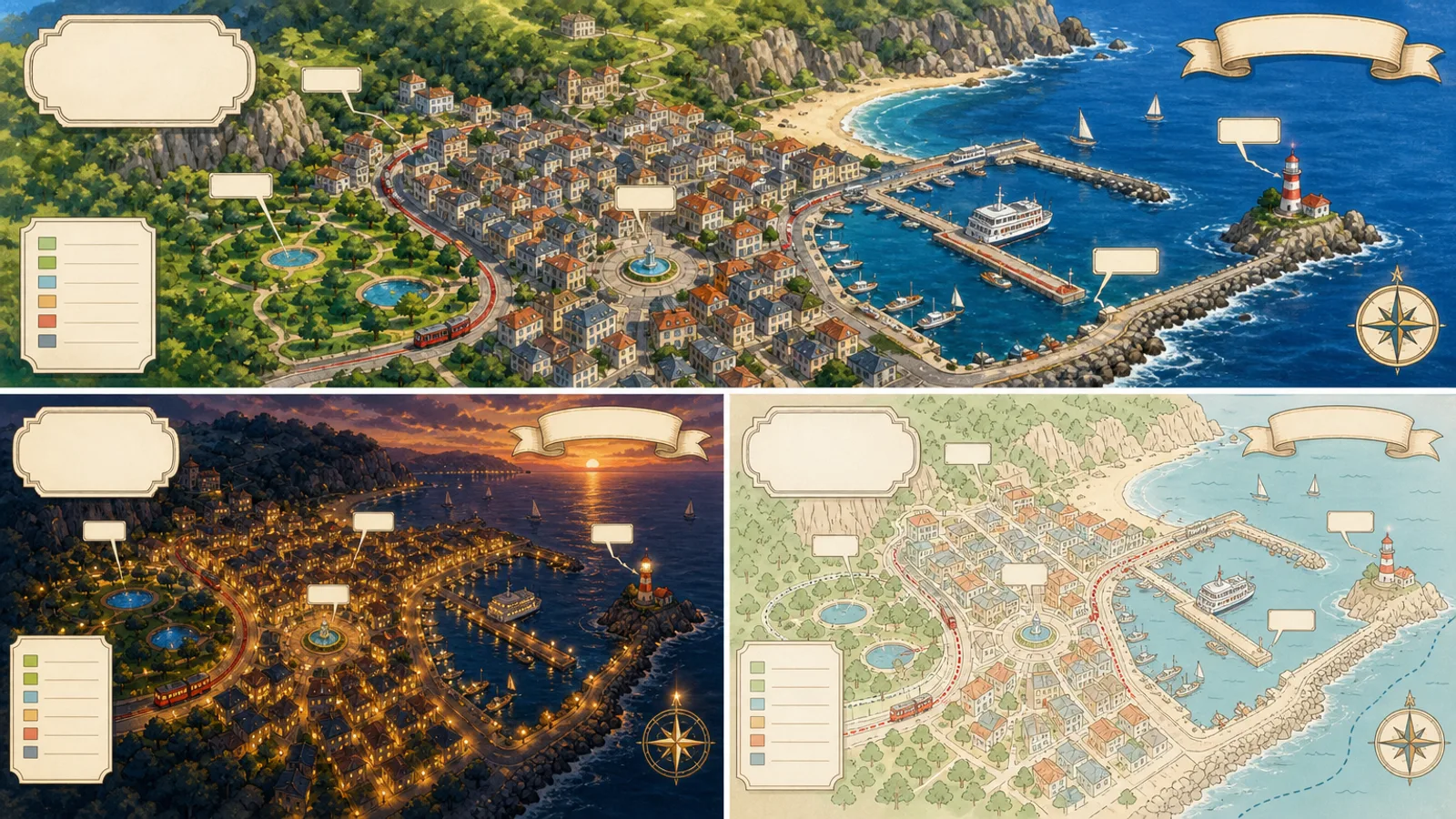
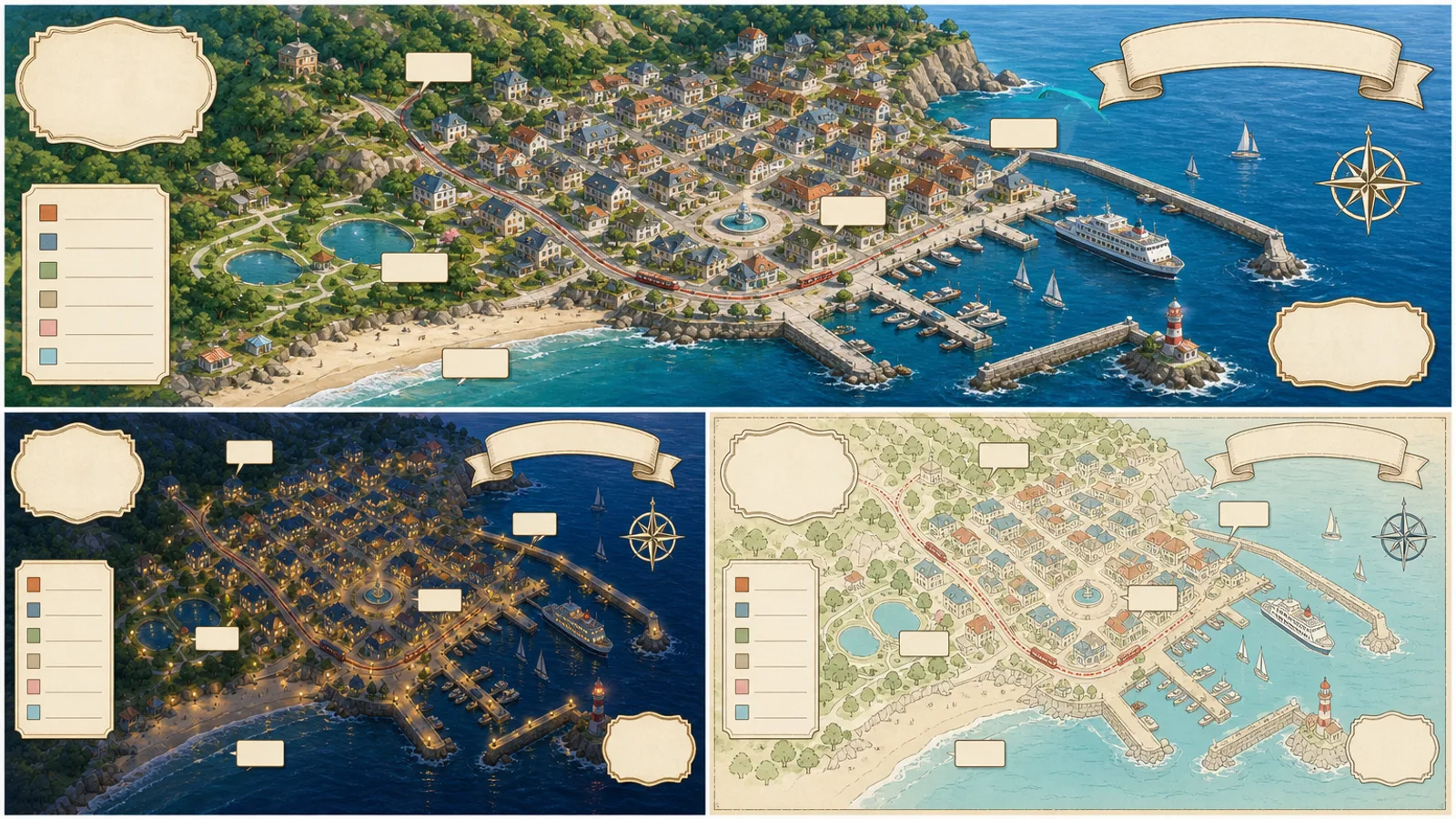


 FAL
Similar Skills
View all

What you get
- Three 16:9 map directions exported as WebP, with empty cartouches and legend space
- A ledger that keeps checked geography in one place and assumptions, rights and open questions in another
- The brief, provider-task.json and a list of the issues nobody has resolved yet
Good fit
- Local guides and city magazines that want a hand-painted overview
- Publishers who need a decorative map, not a navigation map, for a feature
- Creators illustrating a town for a story or a social post
Not for
- Wayfinding, route planning or anything people must navigate by
- Reproducing someone else's map artwork, map tiles or satellite imagery
- Areas with no verified street network or landmark list behind them
About this Skill
Start from geography someone has verified: city limits, main streets, north and where each landmark sits relative to the others. Painted hills and boats stay apart from those facts, and your not-for-navigation note travels with the map. The sample shows a made-up harbor town from above in three moods (daylight, dusk, flat pastel) with empty cartouches and a legend for names set later. One paid FAL request gives three 16:9 WebP directions.
How it works
- Settle the audience, the map's job, approved sources, output size and the person who signs off
- Enter streets, north and landmark positions as facts; assumptions, rights and questions go elsewhere
- Brief the view, mood, colors, exclusions and blank cartouches; ask the model for no names
- Check the brief, then call generate.mjs once with FAL_KEY and note the request ID straight away
- Review each map for stray lettering, logos, banned identifiers and privacy; place names in an overlay
- Export three distinct 16:9 WebP maps and record every unresolved point
Checked before delivery
- Every fact, value, label, relationship, citation and disclaimer shown agrees with the approved source ledger
- No source platform, author identity, model branding, outside logo, watermark, protected character or unlicensed asset
- Three distinct 16:9 review previews are present, readable and inspected by eye
- Unknowns stay visibly pending; a named person approves subject matter, rights, accessibility and delivery
What you need before you start
- You bring
- Approved city limits, the main street network and which way is north · A checked list of landmarks and where each sits relative to the others · Mood of the illustration, frame ratio, colors and a plan for the labels · A not-for-navigation note, rights, privacy and identifiers that must not appear
- Dependencies
- Your FAL account, with FAL_KEY set · Node.js 20 or later
- Outside costs
- FAL_KEY
- Last tested
- v1.0.0 — Claude Code / Codex / Cursor
User reviews
Loading reviews…
FAQ
Can people navigate with it?
No. Decoration stays separate from the checked geography, and the image carries the not-for-navigation note you provide.
Who writes the street names?
Not the image model: it leaves cartouches and legend lines empty, and exact names are added in an overlay.
What is delivered?
Three different 16:9 WebP maps, with the ledger, brief, task file and open issues.